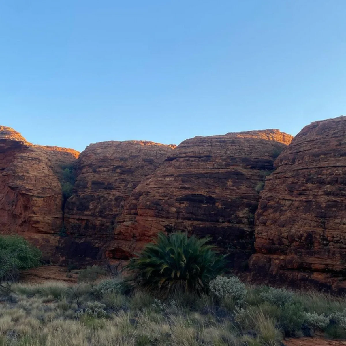
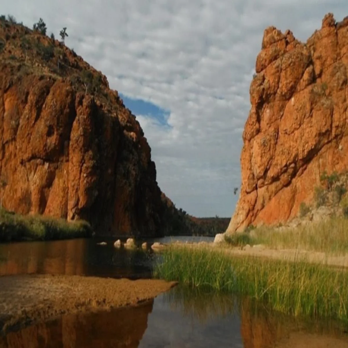
Watarrka National Park in Central Australia features stunning rock formations and a rich cultural heritage. The park includes Kings Canyon, known for its impressive trails that are considered some of the best in Australia.

Are you looking for recommended trails in Kings Canyon National Park for hiking or family outings? Join our 3 day Uluru tour and explore one Kings Canyon National Park hiking trail.
Why visit Kings Canyon?
The Watarrka National Park covers over 70,000 hectares, with Kings Canyon being a standout feature. The canyon boasts rock walls in varying shades of red, steep drops into the gorge, and towering cliffs to marvel at. The best way to experience Kings Canyon is by taking one of the many hiking tracks in the national park.
Visitors to Kings Canyon can explore various walking trails, such as the flat and gentle Kings Creek walk or the iconic Rim Walk, all starting from the car park. The trails are well-marked and colour-coded for easy navigation.
Explore the walking and hiking trails at Kings Canyon
There are various ways to explore Kings Canyon, each offering unique experiences suited to different preferences.
Rim Walk
The Rim Walk is a 6-kilometre circuit that descends into the Garden of Eden and offers 360-degree views. The walk can take around 3-4 hours, depending on the pace at which you absorb the scenery.
The walk begins with a challenging ascent of around 500 steep steps, but the reward is a magical experience at the top. From there, continue to Priscilla’s Crack, known from the Australian movie Priscilla Queen of the Desert, and the first lookout point across the canyon.
The sandstone domes known as the Lost City are located there, resembling an ancient city and often compared to a mini-Purnululu.
Visitors can continue exploring the top or descend the stairs to the Garden of Eden, filled with lush greenery and a sacred watering hole. After crossing a secured bridge for a picturesque moment, they can return to the south side of the canyon by climbing the stairs.
The optimal time for this experience is sunrise, when the sun illuminates the sandstone, creating vibrant shades of orange and red.
Hike more at Kings Canyon
Kings Creek Walk
The Kings Creek Walk is a relatively easy trail in Kings Canyon, graded as a Grade 2 with a distance of 2.6 kilometres. This trail offers stunning views, following a path between the towering canyon walls and leading you through the gorge. The first 700 meters of the trail are accessible to visitors who use wheelchairs with some assistance.
The Kings Creek Walk begins at the car park, with clear signage along the trail leading to a raised platform offering a breathtaking view of the canyon scenery. The walk back to the Kings Canyon car park can be completed using the same trail, taking approximately an hour.
South Wall Return Walk
The South Wall Return is a popular 4.8 km Grade 3 walk at Kings Canyon, taking around 2 hours to complete. Starting from the car park, it involves a steep climb to the canyon’s south wall, offering views of the surrounding cliffs and Creek.
The turnaround point is a one-way gate on the Rim Walk, where hikers continue along the south wall. Return to the car park by retracing the same route.
Giles Track
Giles Track is a 22km trail along the George Gill Range, ideal for adventurous hikers. It starts at Kings Canyon and ends at Kathleen Springs, allowing for hiking in either direction. This grade 3 trail can be completed in a long day, but it’s best to do it as an overnight hike for cooler temperatures.
Campsites can be found between the 3km and 20km track markers, with Reedy Creek at around 8km from the Kings Canyon car park being the recommended location. It is advised to bring your food, water, and sleeping gear.
Kathleen Springs
Kathleen Spring Walk is a Grade 1 trail, 2.5km in length, leading to a spring-fed waterhole at the head of Kathleen Gorge. This natural waterhole holds cultural significance for Traditional Owners, with signs along the path providing information on Aboriginal Culture and the area’s pastoral history.

The trail is flat and wheelchair accessible but offers little shelter from the sun as it is open and exposed.
Safety Precautions
Following basic safety guidelines will ensure a pleasant and memorable visit to Watarrka National Park.
From October to March, temperatures in the region can reach extreme highs, with some locations experiencing temperatures exceeding 40 degrees Celsius. It is essential to take precautions such as wearing sunscreen and a hat and staying hydrated with adequate water.
Visitors are advised to start their walk earlier, finishing by 11 am to avoid the hottest part of the day. It is recommended to start the Rim Walk before 9 am when the weather is forecast to be 36 degrees or above and the South Wall Walk before 11 am.
In addition to monitoring the temperature, it is essential to be aware of other safety considerations. Safety signs are posted throughout the park with vital information to help you avoid everyday dangers. Some essential safety precautions to keep in mind are:
- There is a lack of drinking water available beyond the car parks.
- Three Emergency Radio Call Devices (ECD) are located along the Rim Walk.
- It is essential to ensure that your shoes are both supportive and comfortable.
- Wearing comfortable clothing
- It is essential to adhere to designated roads and tracks and avoid straying off course.
- Keeping a distance of 5 meters from the cliff’s edge.